
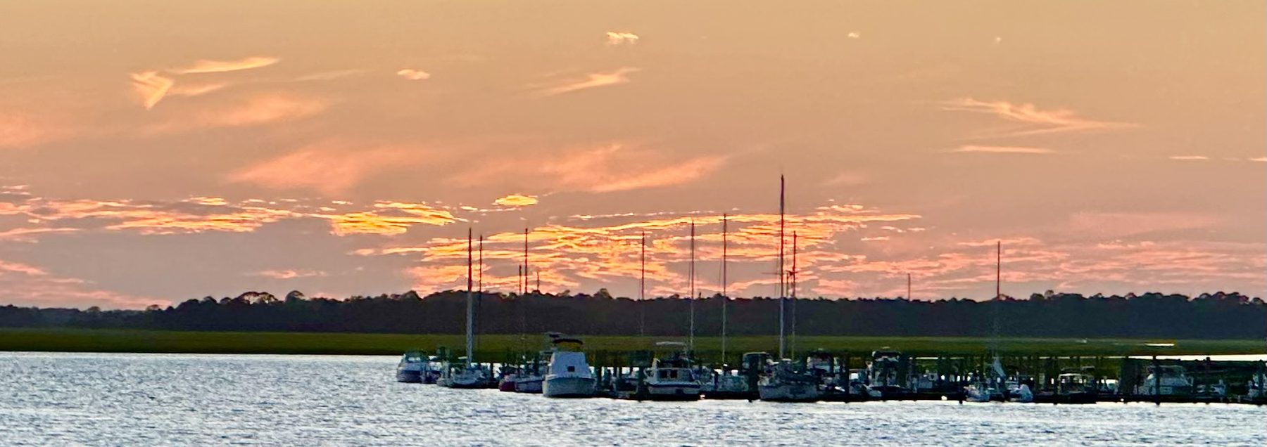
Coastal Plain – Continental Shelf Continuum
Datasets, software and documents on coastal plains and continental shelves as one continuous system — from the Fall Zone to the shelf break, across time scales from tides to glacial cycles, anywhere in the world.
The emerged coastal plain and the submerged shelf are one passive-margin surface. Sea level moves the shoreline across it; the shoreline is a position, not a boundary. The tidal marsh is the hinge — alternately plain and shelf twice a day — and vertical land motion decides which way it goes.
Most research treats the two halves separately: geomorphology, hydrogeology and geodesy stop at the shore; marine geology starts there. This collection exists for work that crosses that line, and for single-domain datasets that someone on the other side needs.
Scope
- Passive-margin stratigraphy and sequence architecture
- Sea-level and shoreline change, Holocene to glacial cycles
- Incised valleys, paleochannels and shelf-edge deltas
- Barrier islands, inlets and estuaries
- Tidal marshes, mangroves and wetland elevation change
- Vertical land motion, subsidence and surface elevation tables
- Groundwater, submarine groundwater discharge and salinization
- Sediment supply, shelf transport and sinks
- Geodesy: GNSS, InSAR (NISAR, Sentinel-1), lidar, bathymetry
- Drone, vessel and ground-penetrating-radar surveys
In the field
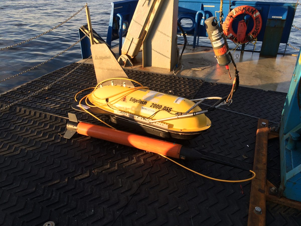
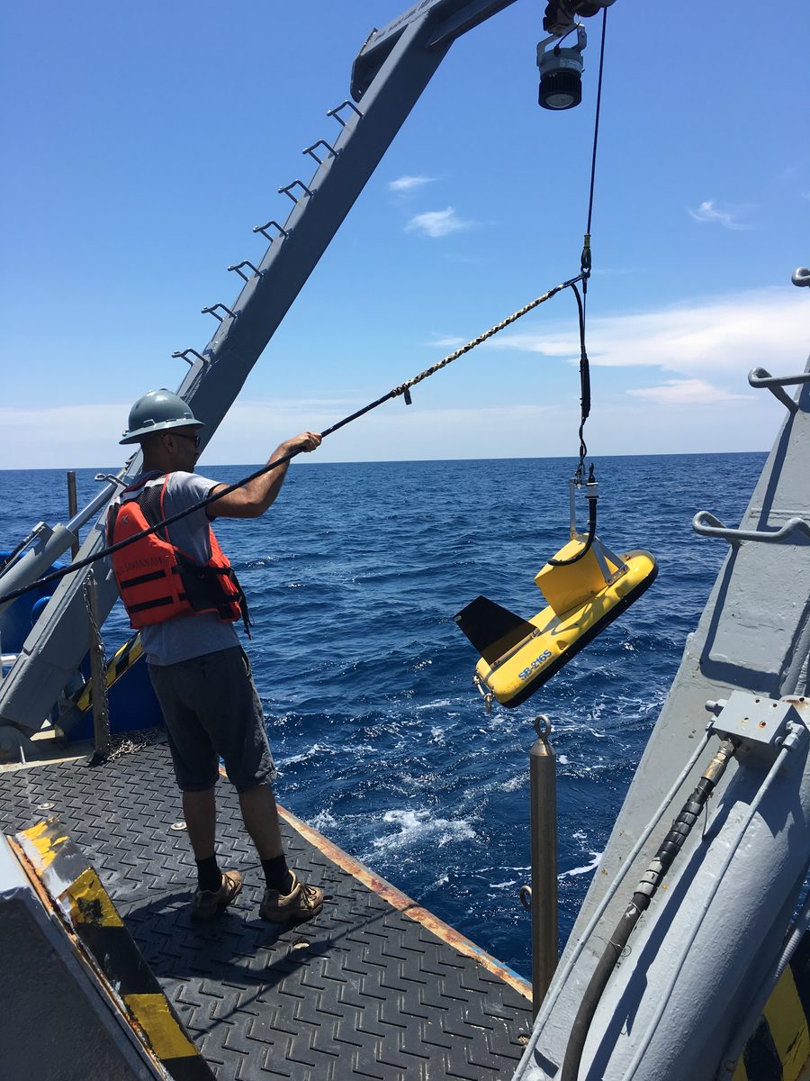
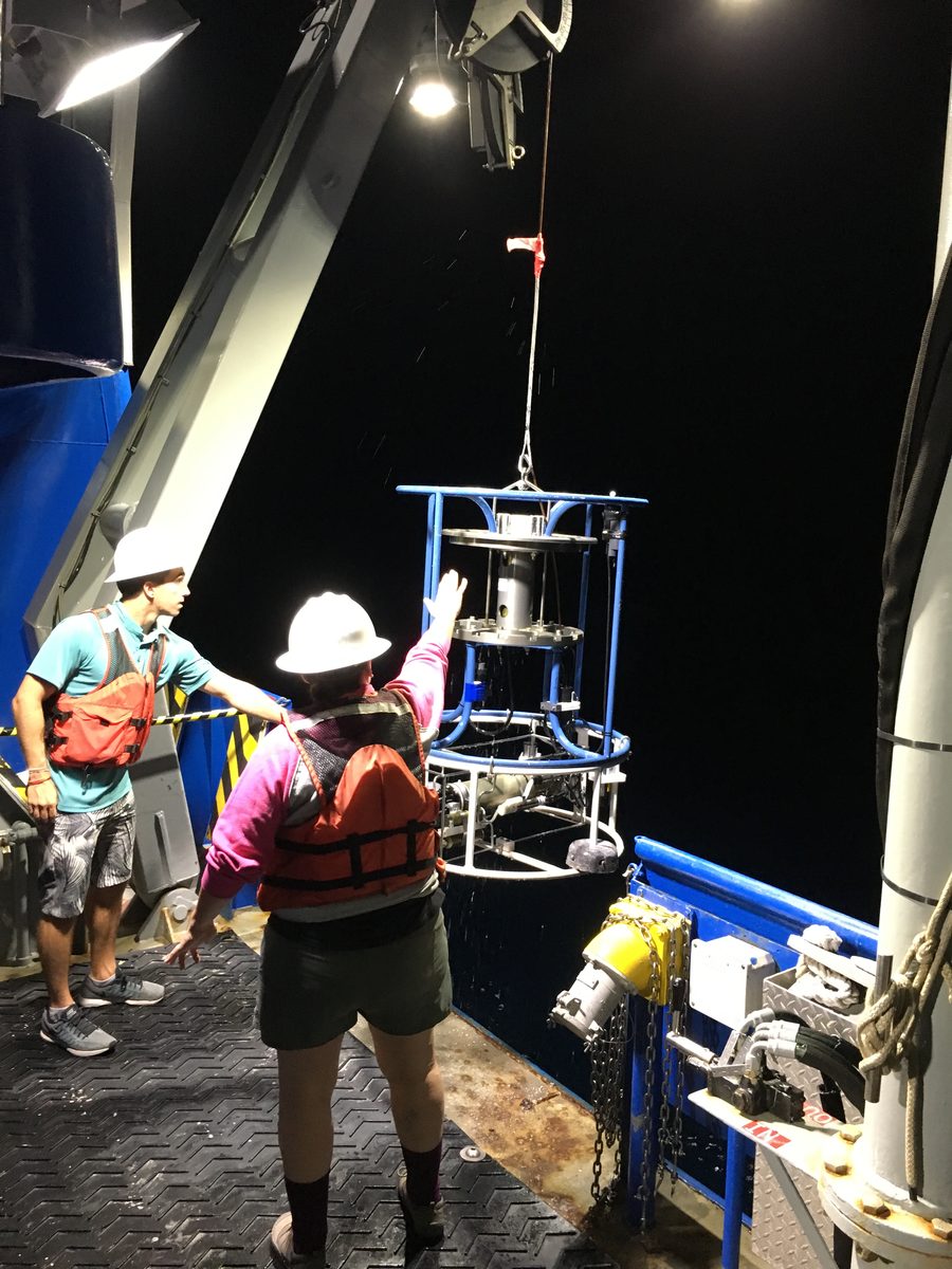
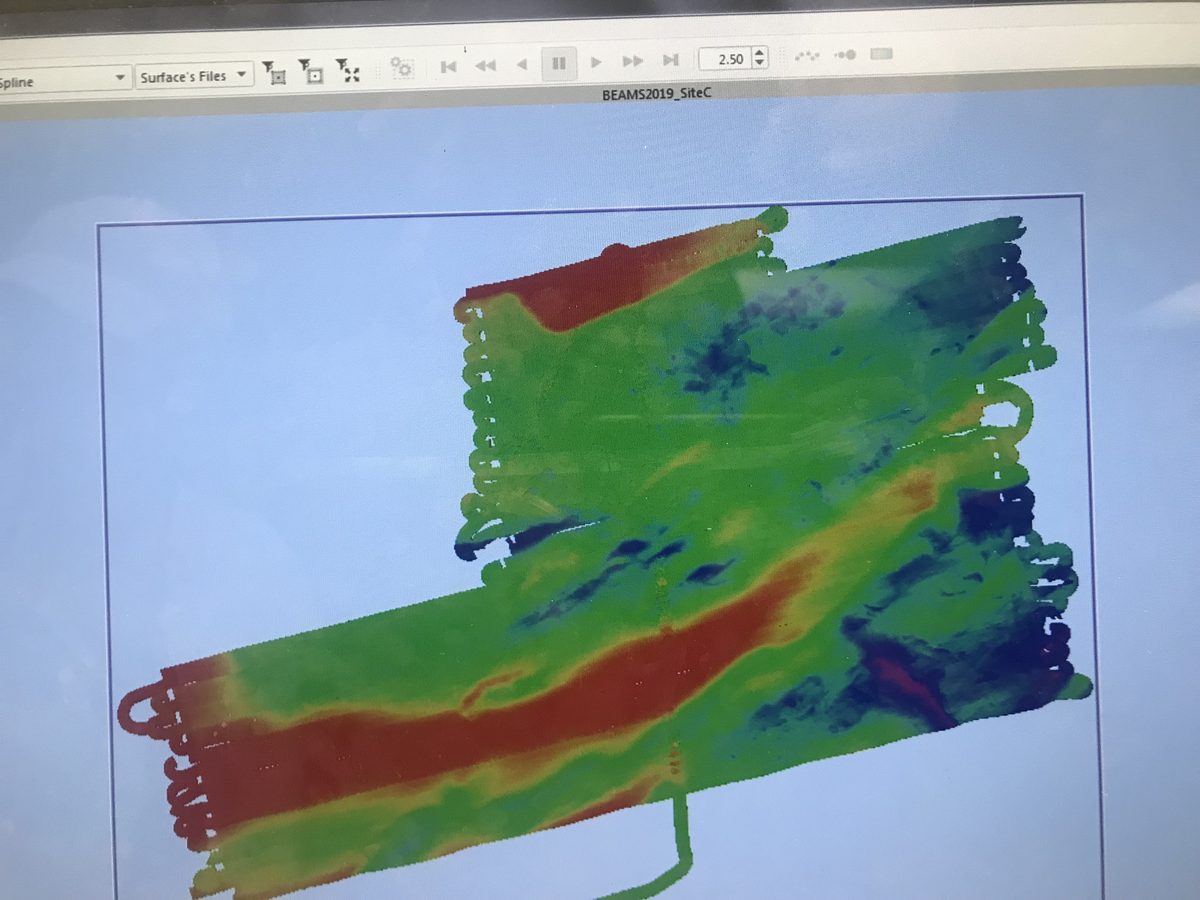
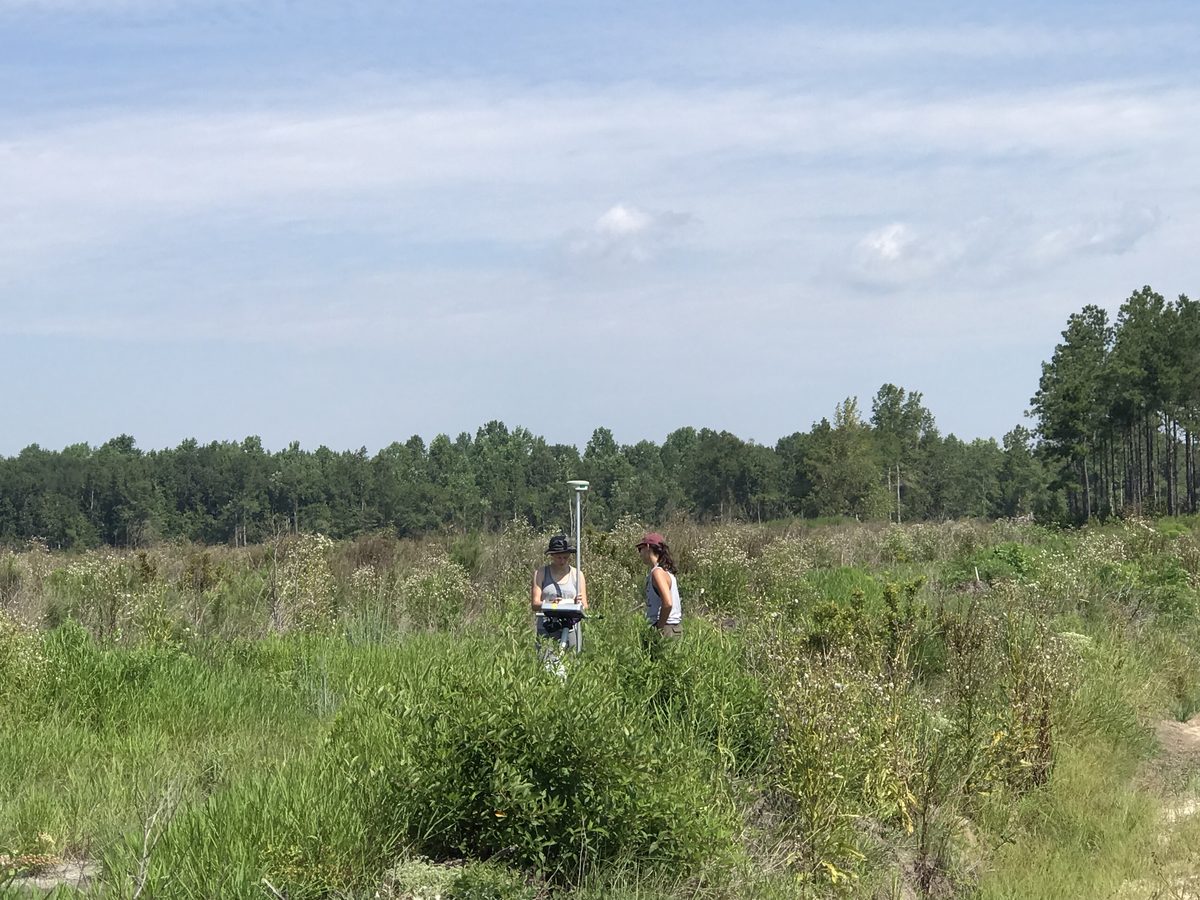
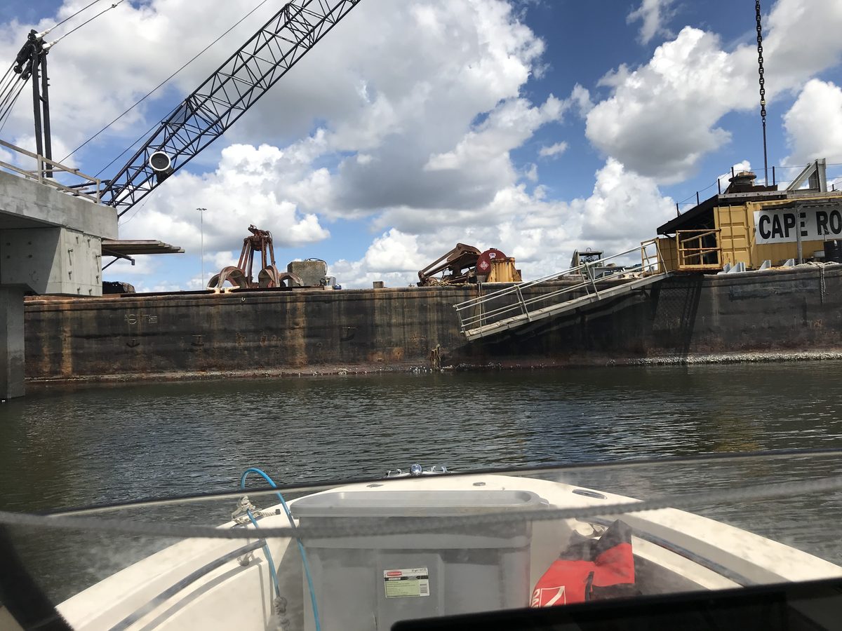
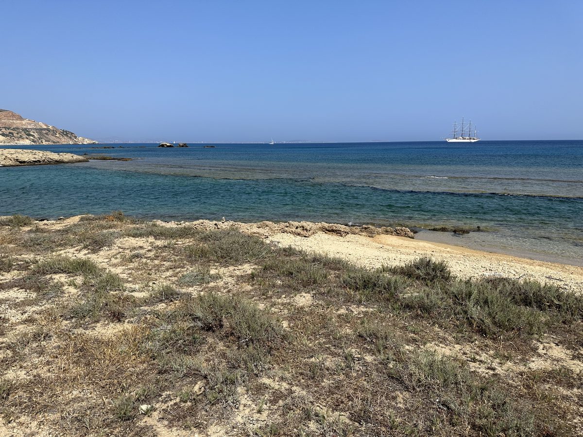
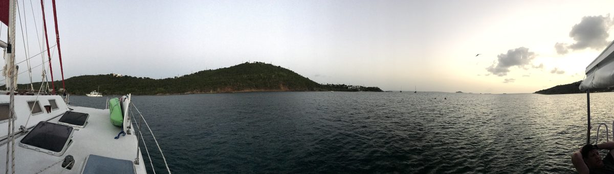
Photo: M. Scott Harris / Earth Access unless noted. Click a photo to enlarge; Esc or ✕ closes.
Curation
Records are accepted when they carry an open licence, author ORCIDs, a spatial extent and a README that another researcher could work from. Single-domain datasets are welcome; the continuum is the frame, not an entry requirement. Co-curators are drawn from both sides of the shoreline and from more than one institution.
Questions and curation requests: scott@earthaccess.us.